
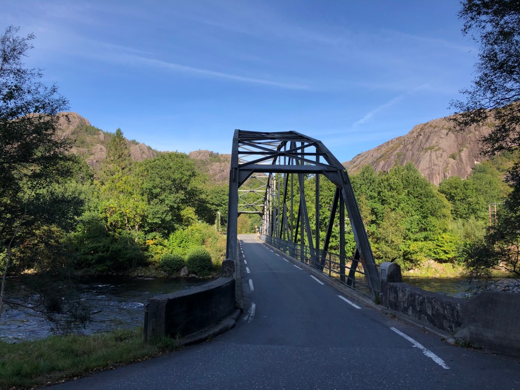
This road is a gem, running through extremely dramatic mountain coastal landscape. It is designated as the North Sea Road (Nordsjøvegen) and it starts in the south at Kristiansand and ends in Haugesund in western Norway. This chapter is for the stretch of RV44 running from the town of Flekkefjord to the beaches south of Stavanger on the Jæren coastal area. We drove the road from south to north, starting in Flekkefjord via E39 that is the main road along the southern coast of Norway. The landscape changes during the whole route, from the glacier rounded mountain range north of Flekkefjord to the flat agricultural landscapes of Jæren south of Stavanger. There is plenty to see and do on the route and although it isn’t a long way in kilometres you can easily use a full day experiencing all the small stops, villages and sights along the way.
Flekkefjord
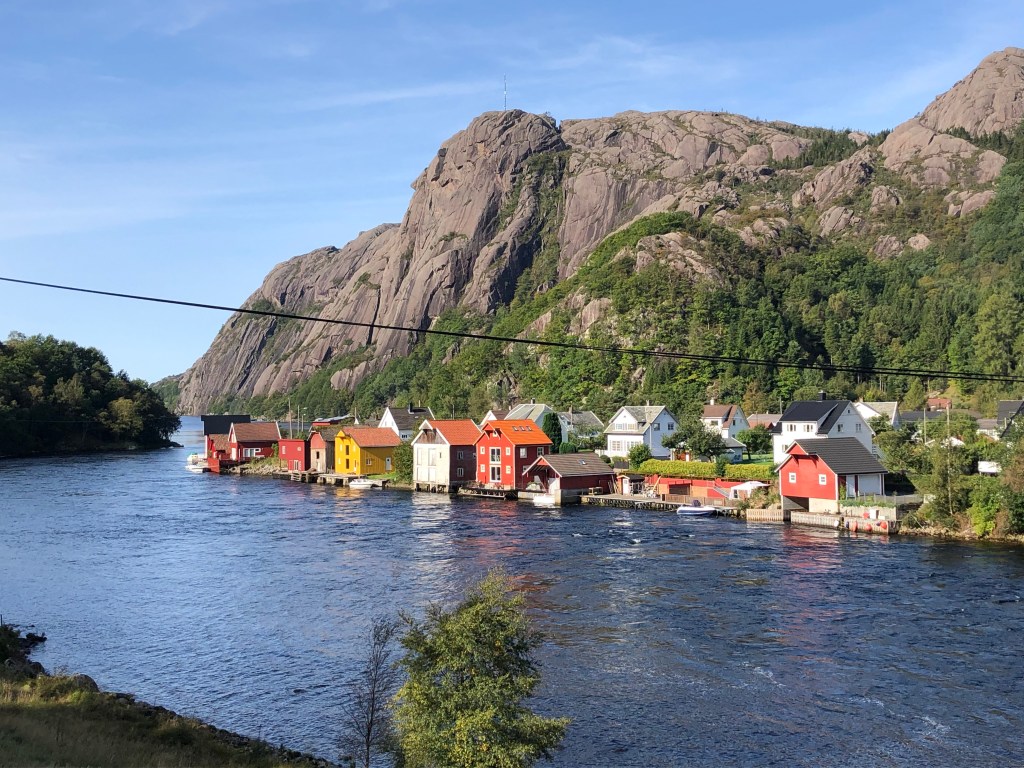
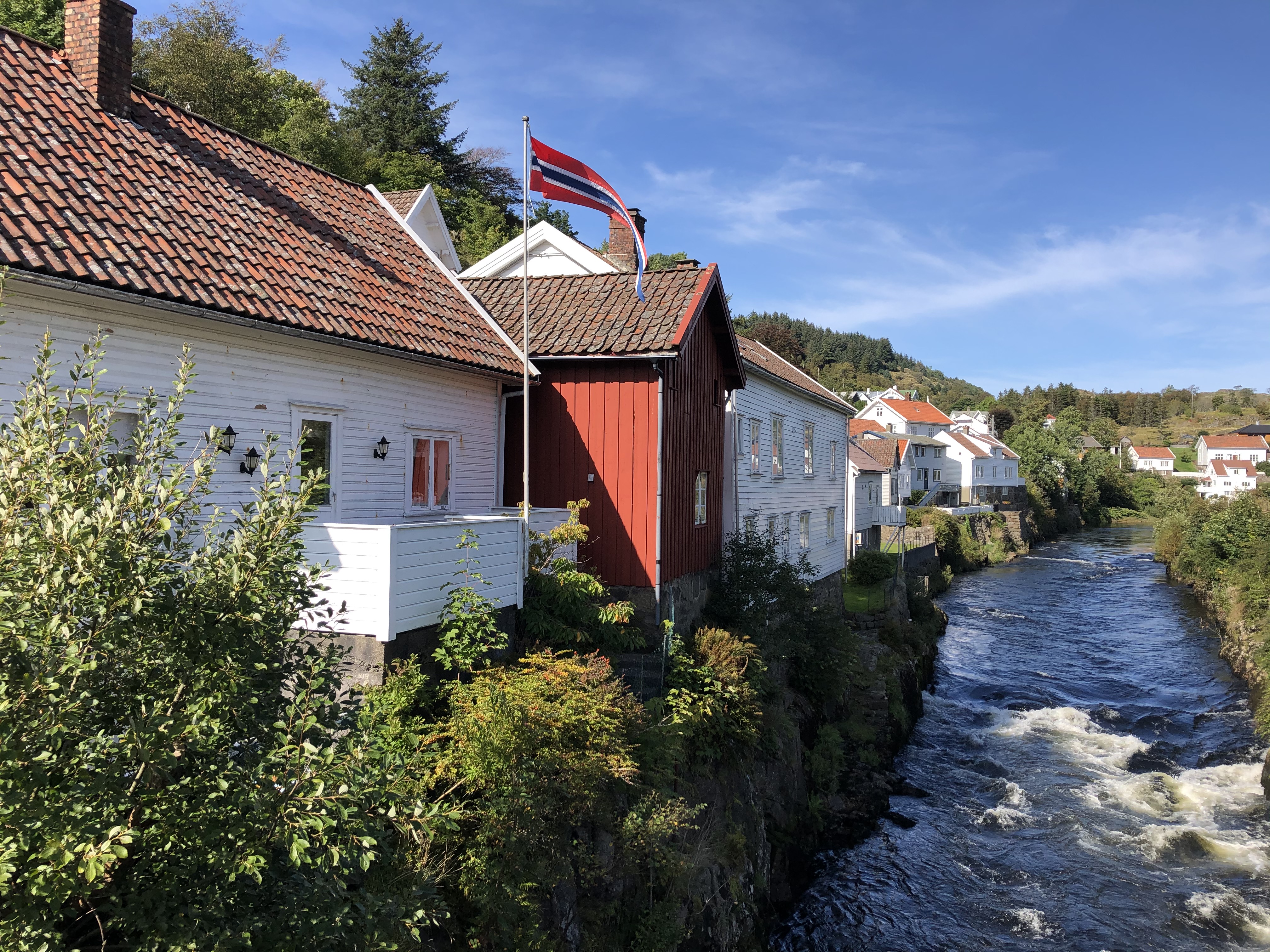
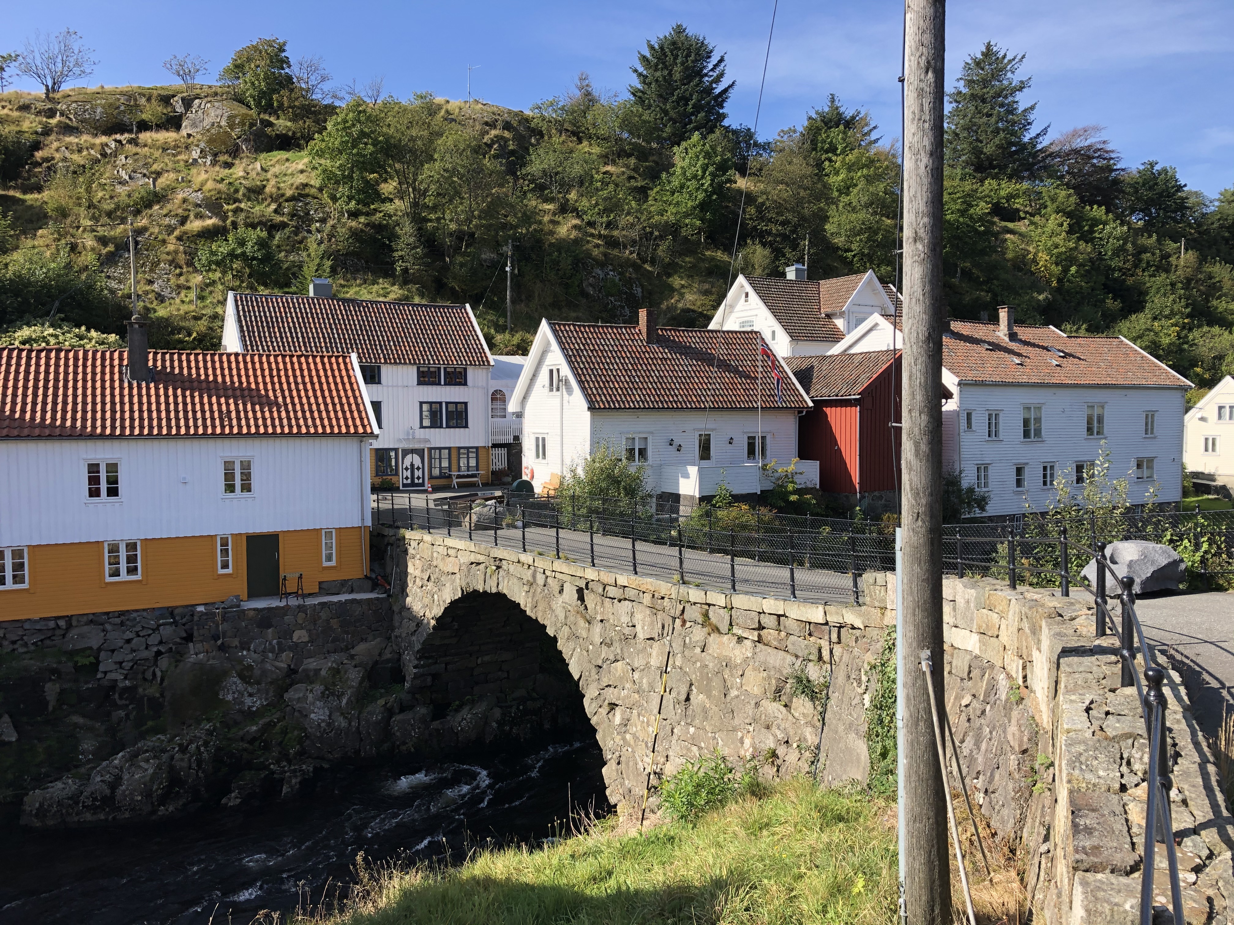
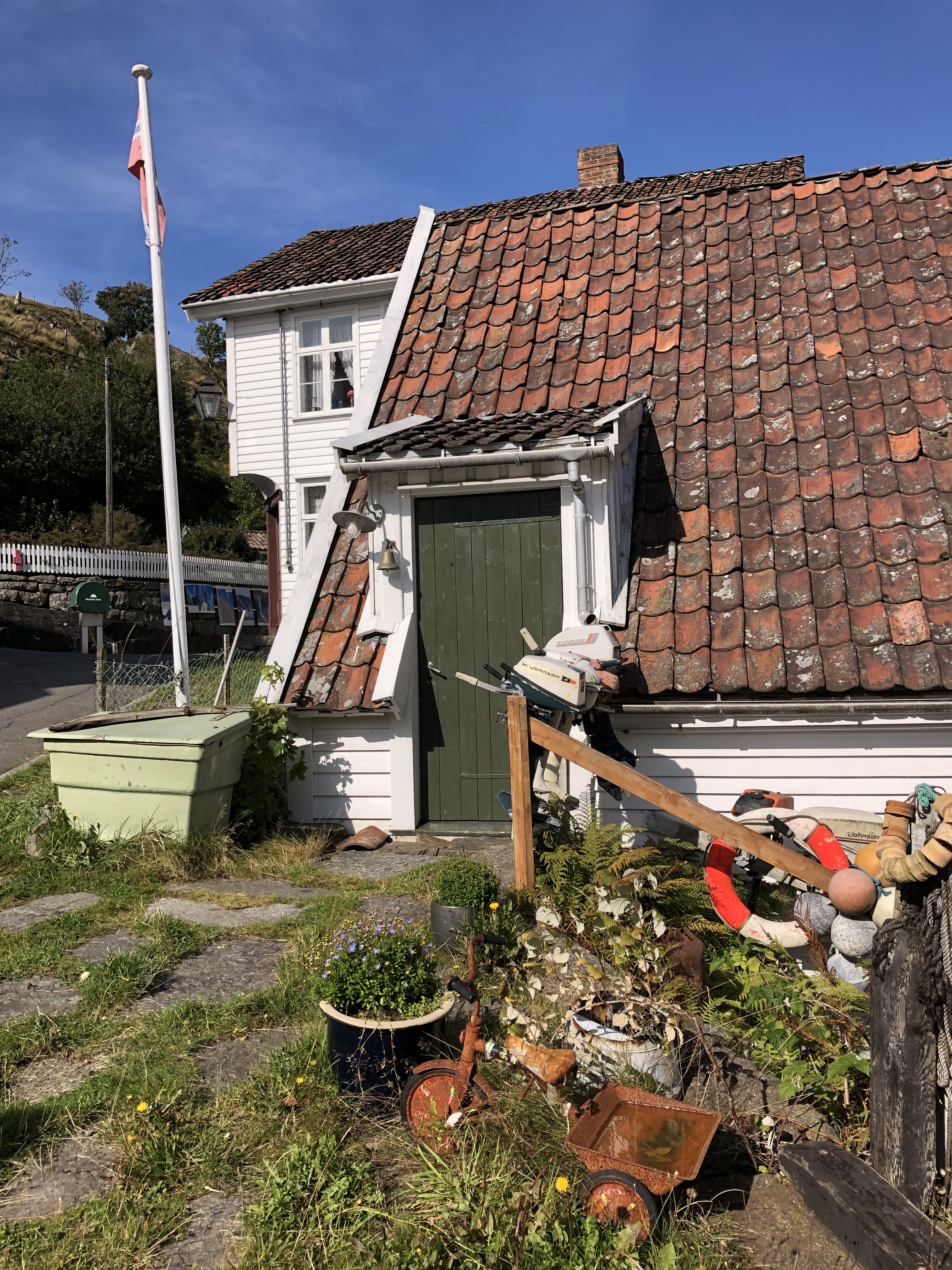
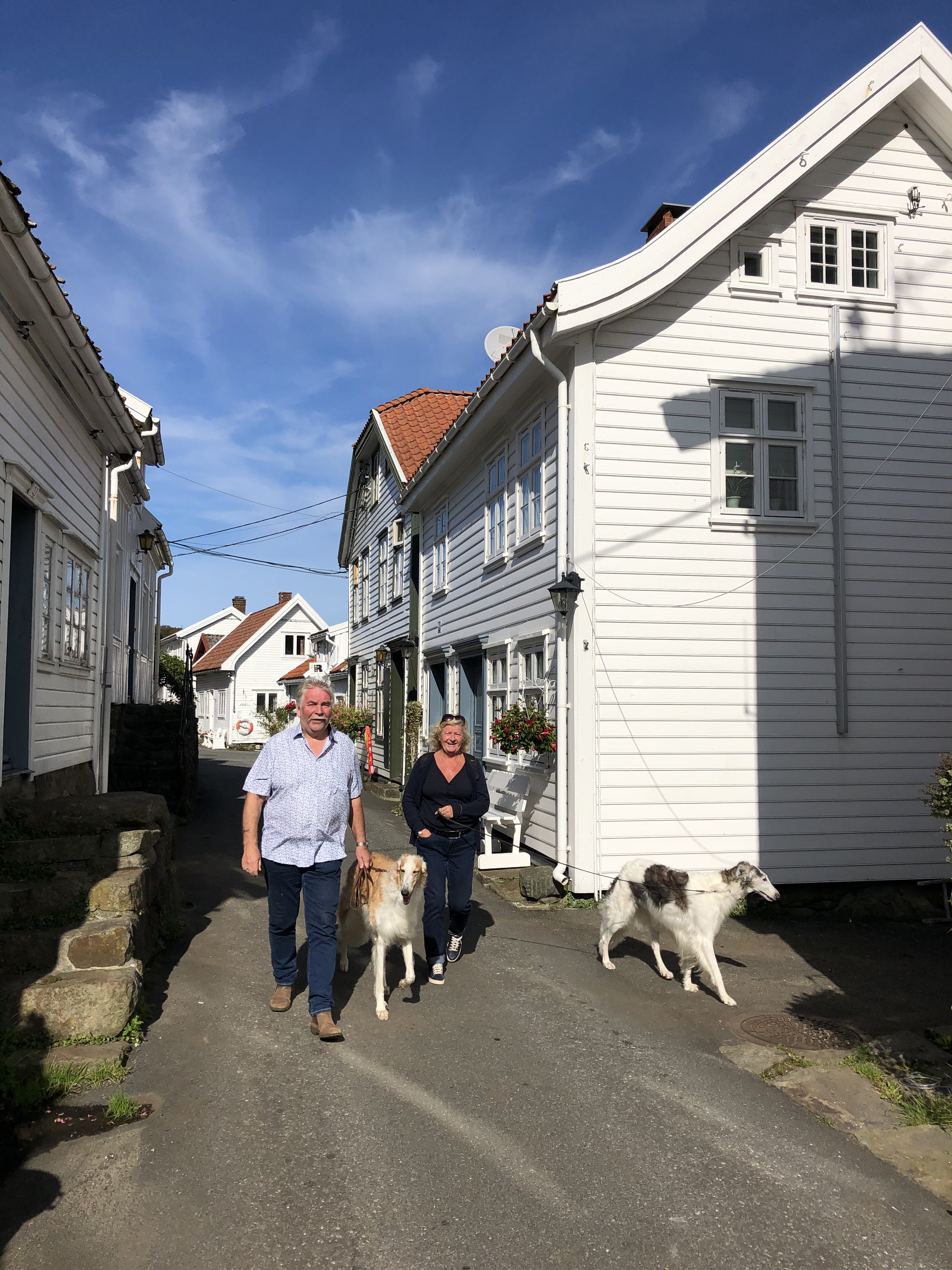
Flekkefjord is nestled at the end of the Lafjord and is a genuinely nice cool southern town with white wooden houses all around. It might seem strange that a town in Norway has a part called Hollenderbyen (Dutch town) but this well preserved part of town has many old wooden houses that were built and inhabited by Dutch merchants who exported wood, rocks and fish to Holland in the 15 and 1600s.


The rocks were used to fill in docks and such in the land expansion projects, and it is said that big parts of Amsterdam are built on oak exported from Flekkefjord. The city also boasts lots of cool murals and wall art, and you can hire dressin bikes that run on the old tracks to experience the old railway route that ran from Flekkefjord. Highly recommended are the small bakeries that have a plethora of tasty pastry and sandwiches that are good to bring along as energy boosts on stops during the day.
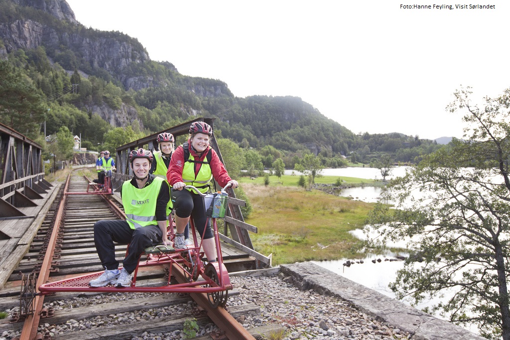
Rail biking is a perfect activity whether you`re are a family, a group of friends for a teambuilding day with your colleagues.
The bicycles are custom made and specially designed for comfortable and safe cycling on railway tracks. It`s a tandem bike, and there`s room for two people cycling, and as well as one passenger, as shown in the illustration on top. The bikes are versatile handy and flexible and can take wheelchairs and even child seats.
The trip starts at Flekkefjord station. You will experience breathtaking sceneries and seventeen tunnels on your journey. Find out more at Flekkefjordbanen.
RV 44
The RV 44 runs through Flekkefjord city centre and soon you will be on very spectacular mountainous roads with switchbacks galore and breath-taking dives into small fjords and river gorges. We would say that if you have a large RV or campervan, we would recommend not to drive this road if you are a bit unsecure on Norwegian narrow roads, the RV44 is of course driveable but with caution if you have a wide body vehicle.

On motorbike it is every bit as spectacular as it might seem, speed will be low, and corners will be many and sharp. If you venture on bicycle, we hope you have done your basic training well, this is a road for the ones with a high oxygen intake.
After crossing the first highland bit of road you will plunge down into the gorge of the Åna Sira river and the small hamlet of Åna Sira. Here you will also cross the county line between Agder and Rogaland. The Åna Sira river is well known for its wild salmon fishing. And a cool side trip here is to visit the Brufjell Holes, a very spectacular hike. After Åna Sira you again will ascend to the mountains.
The area you drive now is part of the Magma Geopark and it is a special area geologically. It is a UNESCO recognized geological area with major international importance. The area has one of the few sites in the world that contains anothosite (and titan ore), the other place is in Canada, and the moon gets its light parts from anothosite. When you get closer to Jøssingfjord, you will see mining activity along the way, and in Jøssingfjord there is a large harbour facility for exporting the rock mined in the area.
Jøssingfjord and Helleren

Jøssingfjorden is a narrow and deep fjord and it gained international notoriety in February 1940 during the so called “Altmark” incident. Altmark was a German auxiliary vessel and was allowed passage through Norwegian waters escorted by a Norwegian torpedo boat (at the time Norway was still neutral and not active part of WW2). The Altmark was in secret carrying 300 British prisoners of war. The Altmark was spotted by British planes and sought refuge in Jøssingfjorden. That night the British boat Cossack went in the fjord and boarded Altmark. There was a short skirmish and 8 Germans were killed and several Germans and Norwegians wounded, the British prisoners were freed, and Cossack headed for Britain. The political implications were big for Norway, the government protesting the British incursion on neutral Norwegian territory, and the German government using Norwegian failure to protect the German vessel in neutral territory as a precursor to invading Norway later in April since it was deemed that Norway could not be seen as a neutral nation.
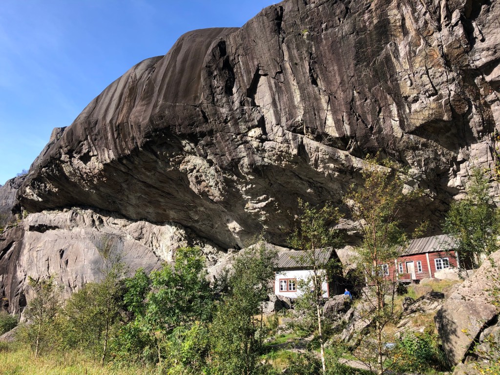


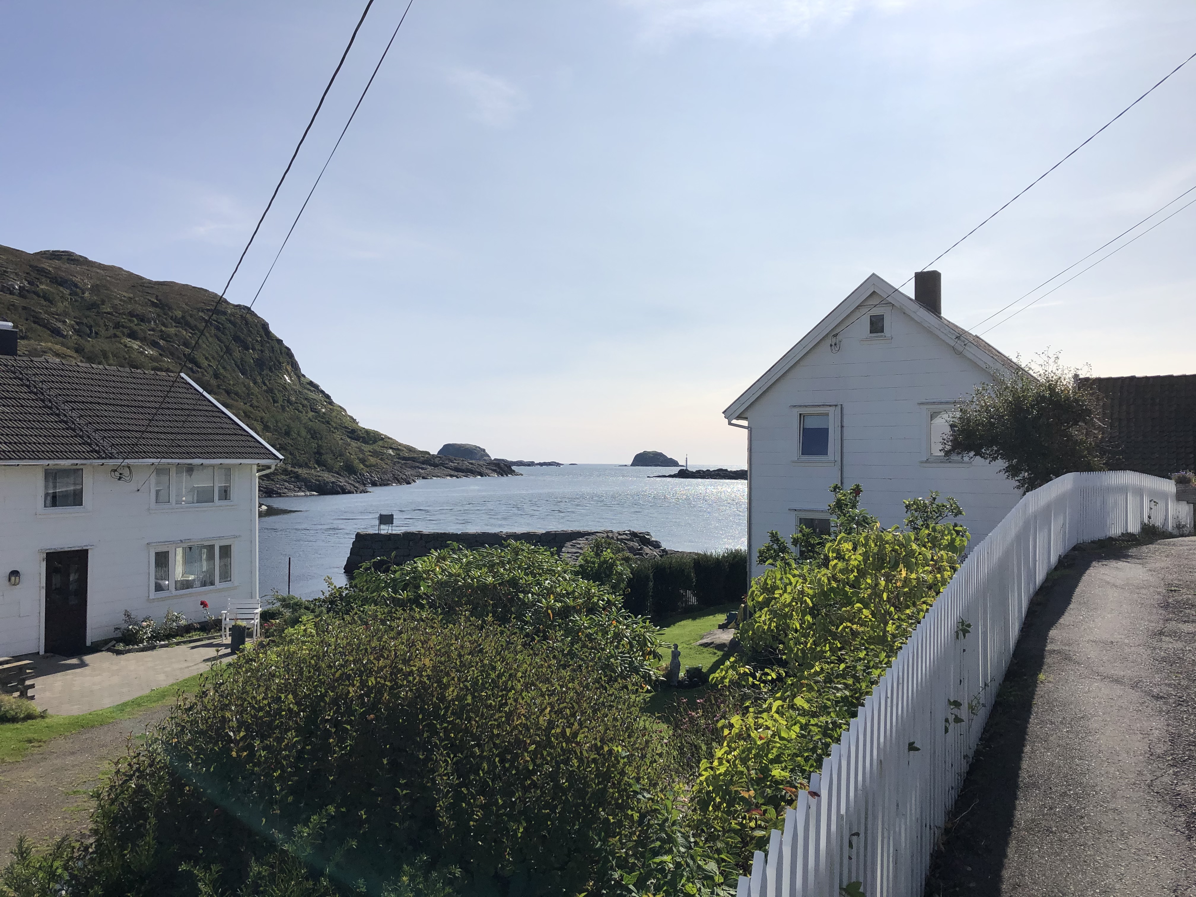
In Jøssingfjorden there is also one of the more iconic photo opportunities in Norway, the Helleren settlement. Under a 10-metre rock overhang, two small houses seem to huddle together to keep warm and protected from the Norwegian climate. The spectacular location has been settled since the 1600s and the current houses are both from the 1800s. Well protected from the rain and storms, with ample fresh water and fish just outside the window in the fjord, this is one of the more spectacular house placements in Norway. The white house is closed for visitors, but you can go into the red house and experience the low ceilings and cramped conditions of those living here a few hundred years ago. Sadly at the time of writing (2020) there is a large development just across the stream from the houses that takes away a bit of the experience but we are guessing that the area will be put back to its natural state once the building work is done.
The Wildest Road In The Country

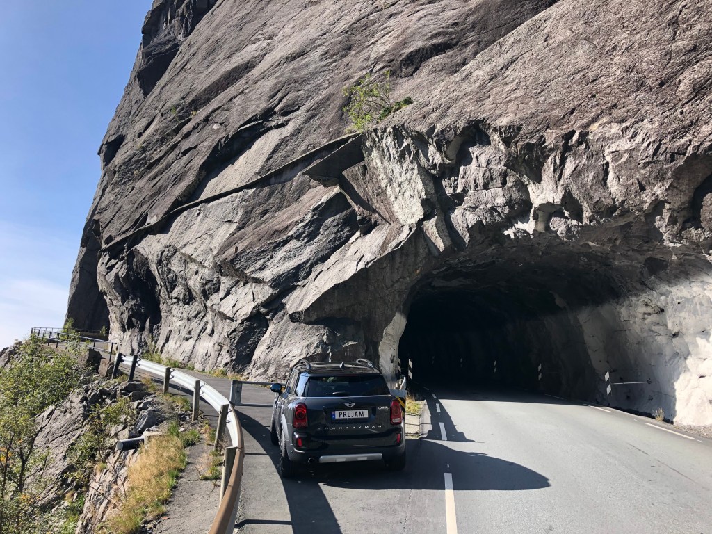
From the Helleren site the road spectacularly soars up towards the heavens up a vertical cliff wall. This bit of engineering marvel was called “the wildest road in the country” and construction started in 1916. It is easy to see why this road is such an engineering feat when you ascend the switchbacks of the rock wall on the way up from Jøssingfjorden. You can see the old tunnel on the outside of the new one that you drive through today.

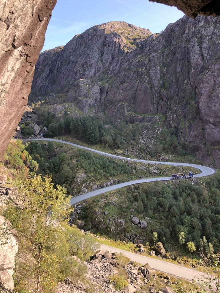


Continue up the hill and you will see a large parking area, park the car here and walk on down to the old road tunnel. The view from the various holes blasted in the rock face and down towards the fjord is epic. There is also a bench here for a special lunch, and there are even carabin hooks on the wall so that you can hang hammocks and spend the nigh if you feel particularly adventurous. At the large parking area there are placards outlining the Altmark incident and there is also a memorial commemorating 4 New Zealand airmen who lost their lives during a bombing raid on German facilities in Jøssningfjorden in 1945.

On the 14th of April 1945 a group of 20 Beaufighters from the RAF base at Dallachy in Scotland were sent to attack German vessels in Jøssingfjorden. The raid did little damage due to the difficult conditions in attacking a narrow fjord. After the attack the planes regrouped at a higher altitude, two New Zealand Beaufighters collided during this maneuvre. 4 airmen were killed. John Mostyn Brightwell, Edgar Joseph Foy, Royden Leslie Nugent and Graham George Parkin are remembered every Norwegian national day on the 17th of May with laying of wreaths at the memorial plaque. Read more about it here.
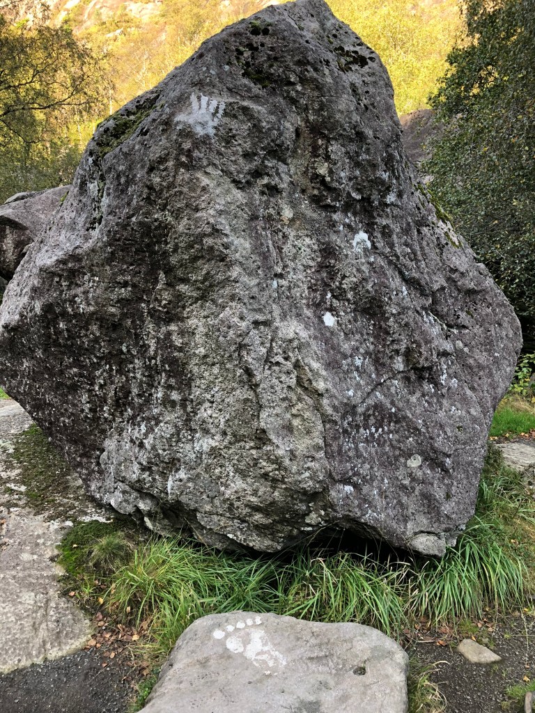
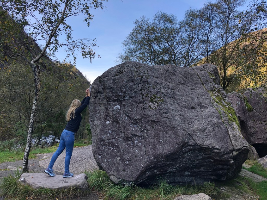
After descending into another green and lush valley, you will be close to Sokndal. Just as you start to see some houses again you will get the river on your right-hand side. There is a small cool detour here across the bridge which will be signposted to “Ruggesteinen” and “Blåfjell Gruver”. Just follow the signs on a narrow road, and the reward will be to rock a rock. A “Ruggestein” is simply put a big rock that can be rocked by one man/woman. It is said to be one of the biggest rocking stones in northern Europe, weighing in at a hefty 70-80 tonnes. In 1923 the stone was protected under the first conservation measure in Rogaland county. Just put your hand were the Uruk-Hai have been and give it a rock or two. Further on is the Blåfjell mines, a great site for hiking.


Sogndalstrand

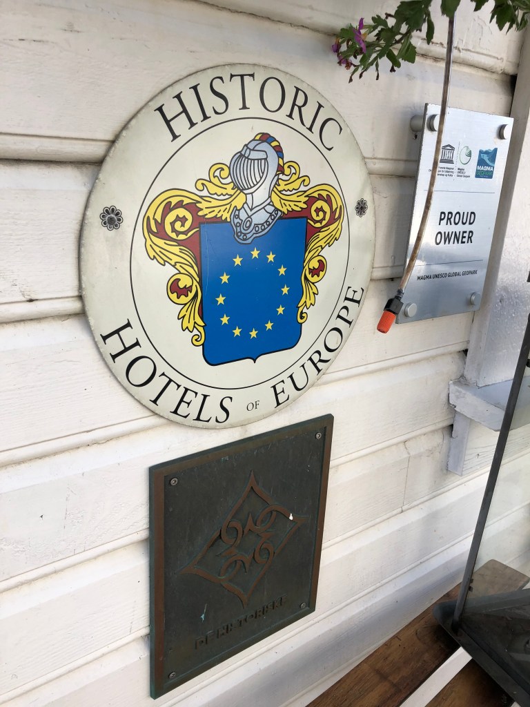
In Sokndal city centre there will be signs to Sogndalstrand, one of the best preserved wooden housed hamlets in Norway. A major tourist destination in summer, Sogndalstrand is a small but significant village in western Norway. It is the only Norwegian town where the whole town is listed. It had its heydays in the 1800s due to the salmon river and trade via the sea. When roads replaced the sea as the main transport of goods, Sogndalstrand fell into hard times. At the start of the 1990s the village was in major decline in danger of loosing its unique buildings. Local heroes and government started the work to maintain and rebuild, and the establishment of one of the coolest hotels in Norway helped Sogndalstrand to prominence for tourists from all over the world.


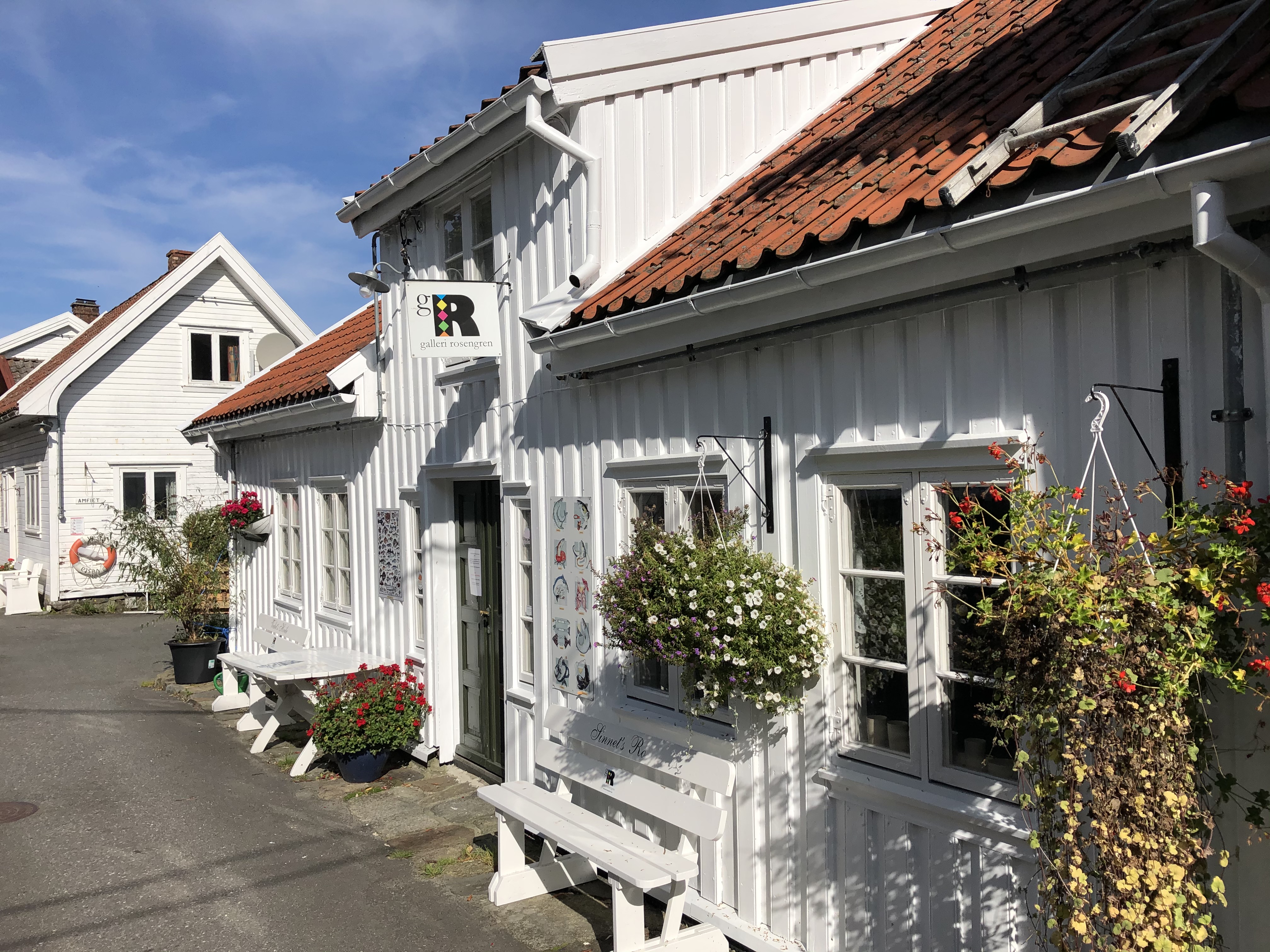
The Sogndalstrand-Kulturhotell now occupies 11 houses in the small village. If you want to spend a night or two here you never know what house or room you might end up in, every house and room is individual and unique. A true gem. Walking the streets of Sogndalstrand is like stepping back in history, you can really feel how it would be like to be a sailor or a merchant in the 1800s Norway. We came during low season, so there were not a lot of people around, since this is one of the most popular destinations in Rogaland, be prepared for more people than we encountered in high season from May to September.

After visiting Sogndalstrand (or Sokndalstrand) the road continues towards Egersund, we did not find time to stop here but this is a nice coastal town with rich maritime history with white wooden buildings.

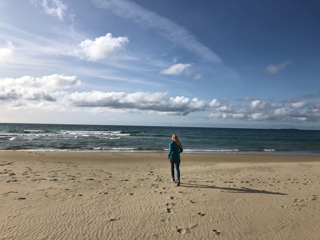
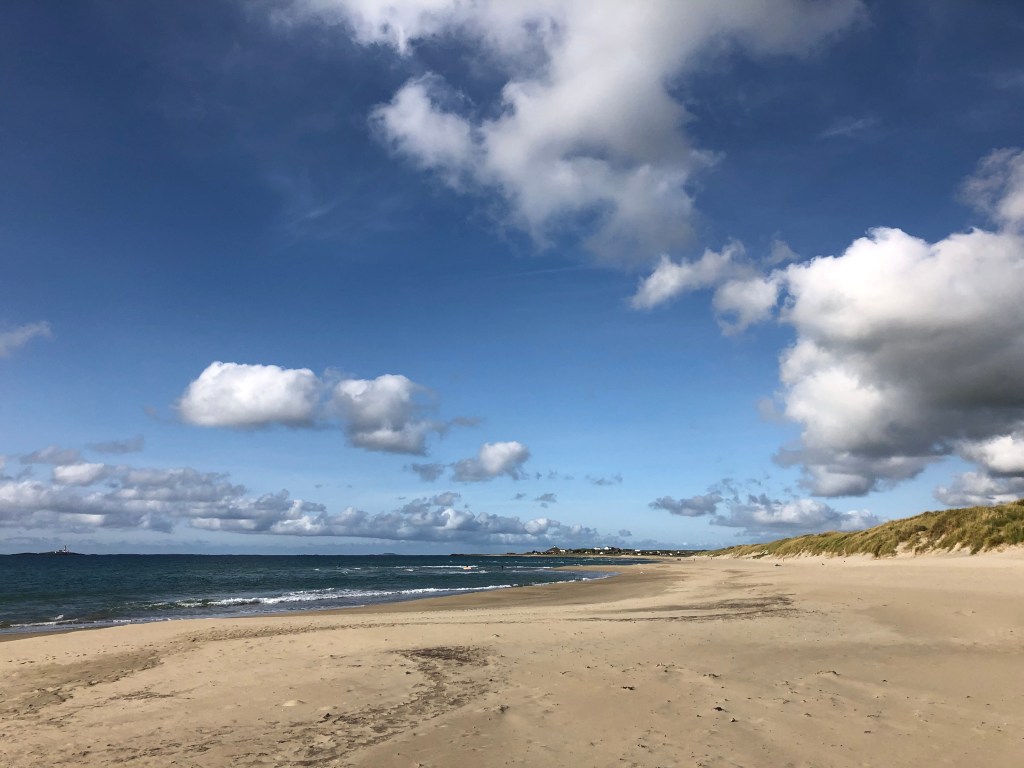
After Egersund the landscape will change dramatically, from rocks and mountains to flat pastures. This is Jæren, one of Norway’s prime agricultural areas. Expect plenty of farms, sheep and cows. You will drive with the sea at arm’s length. There are many rocky beaches, and some of Norway’s finest sandy beaches in this area. After Varhaug you need to look out for the road going left the RV507 to Orre and Jæren. Orrestranda is a genuinely nice beach but we would recommend driving a bit further and take the road to Borestranda. Here you can do something that does not immediately seem Norwegian; learn how to surf. The surf here can be epic during the winter storms, and it’s home to one of the few sites in Norway where you can rent surfboards and even take surf classes. Surf-Norge runs a cool hostel located at the beach and next to the surf school. At the beach there are excellent facilities such as showers and toilets.


A few miles north there is the Solastrand with the excellent beach hotel, just a few minutes from Sola Stavanger Airport.
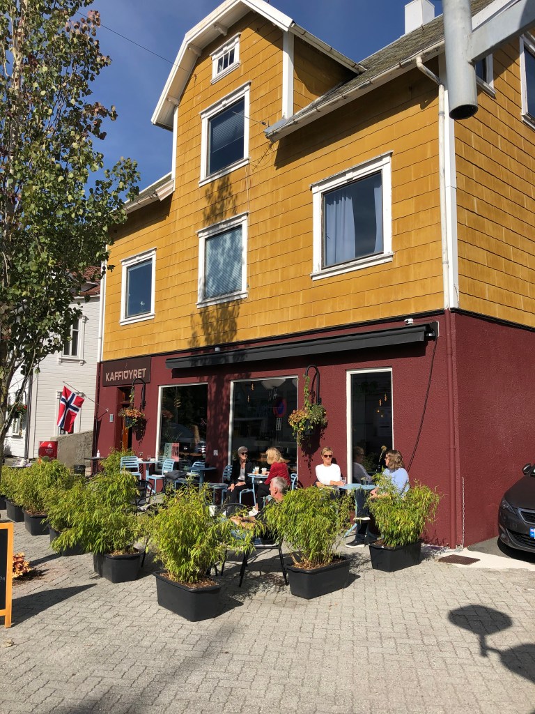
We ended our adventure with a nice coffee in Stavanger city centre.
The drive itself is not long, driving without any stops along the coast from Flekkefjord to Egersund is 1 hour 15 minutes and double that from Egersund to Stavanger, so the distances are not long at all.
And while you are in the area, why not do a day trip to Pulpit Rock?


A fabulous trip, rail biking looks a lot of fun.
LikeLiked by 2 people
It is very cool and great fun👍
LikeLike
Ever so gorgeous views! But how did you secure such lovely weather??!!
LikeLiked by 1 person
Sometimes Norway weather delivers, some times not…
LikeLike
👍
LikeLike